 Rail(Outside of Beijing)
 Civil Construction
 Municipal Engineering
 International Engineering
 Wisdom city

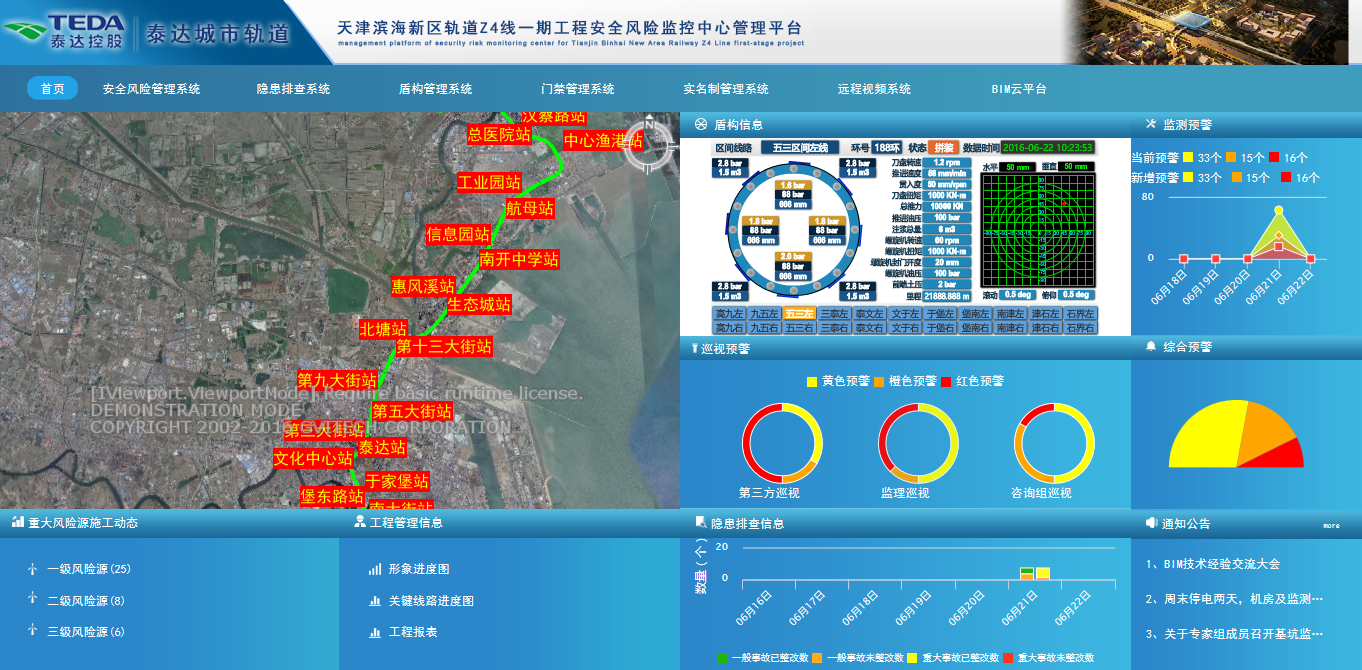
BIM-GIS technology is introduced into the safety risk management and control system for the first time in China. Through safety patrol and risk source information input, survey points and monitoring data input, combined with BIM three-dimensional model, the real-time monitoring and spatial positioning display of Z4 line safety risks are realized.

Share:


